|
|
Central Colorado 2003 |
On the third day of our trip, we hit the road for an adventure through central Colorado. My parents were kind enough to lend us their Ford Explorer, which allowed us to venture out into the Colorado wilderness.
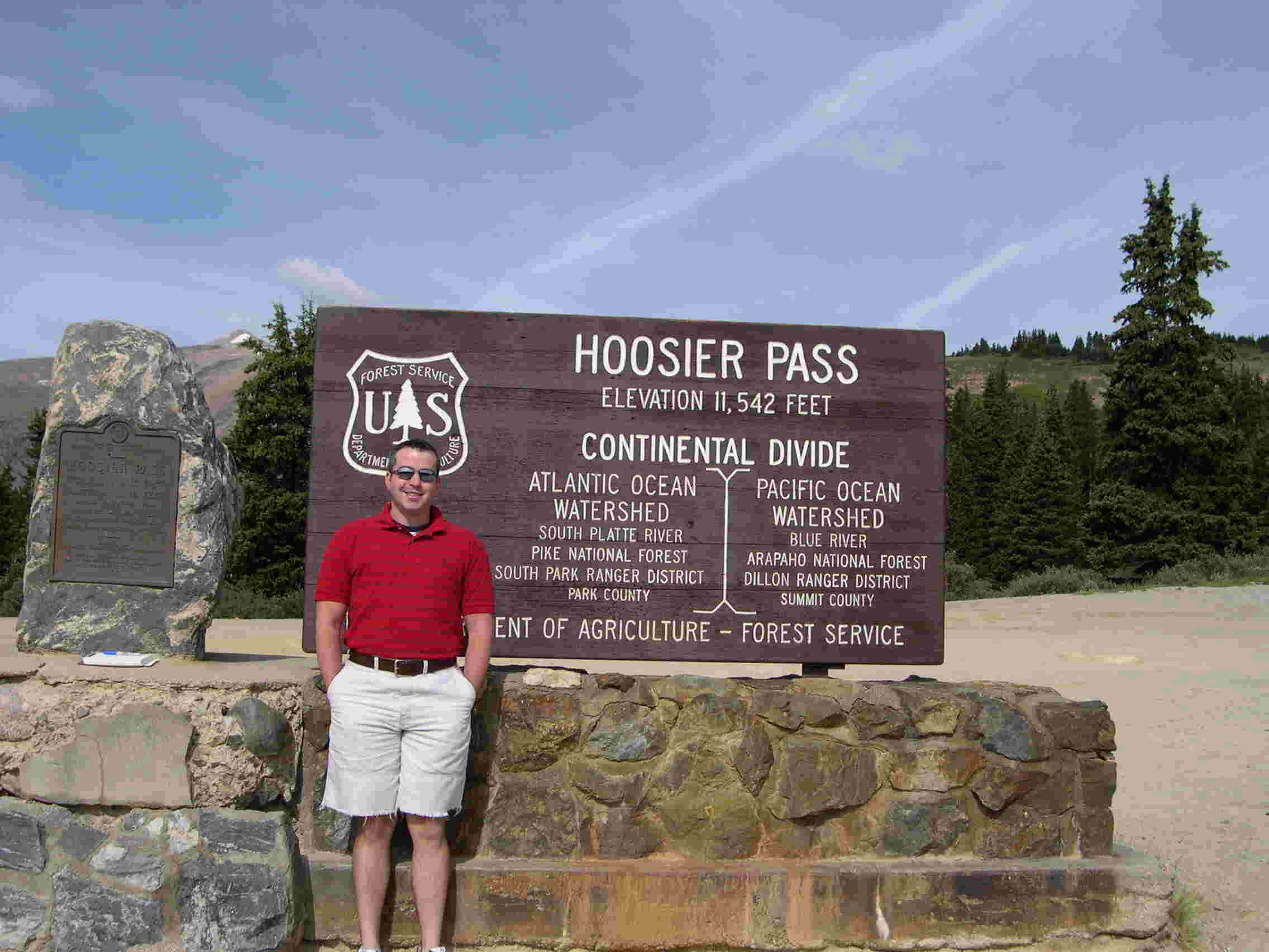
We headed south on Colorado Highway 9, the same route we took for our fly-fishing trip on the previous day. The first site of interest was Hoosier Pass, located at an elevation of 11,542 feet. Linking the towns of Blue River and Alma, the pass was first crossed by John Fremont in 1844. The pass is named for Hoosier Gulch, which was discovered and worked as a placer camp in 1860 by men from the state of Indiana. The pass also lies on the Continental Divide, which separates the Atlantic (to the east) and the Pacific (to the west) watersheds.
|
|
|
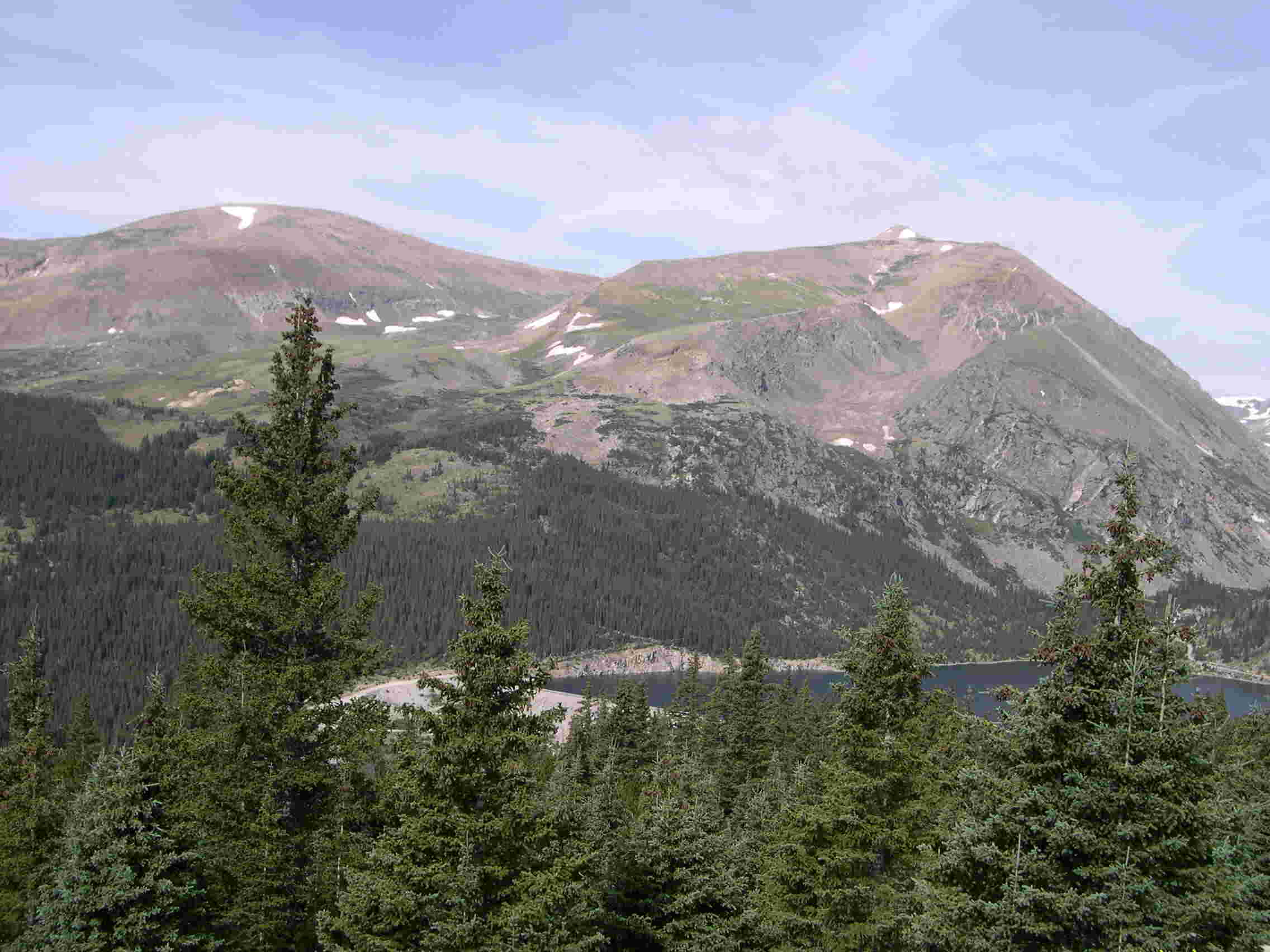
| Brian stands at the sign marking the Hoosier Pass and the Continental Divide. On the left is the Atlantic watershed, while the Pacific is on the right. | These two peaks overlook the Montgomery Reservoir, which is the source of the Middle Fork of the South Platte River. The peak on the left is Mount Bross (14.172 feet), while Mount Lincoln (14,286 feet) is on the right. |
The next town is Alma, which, at an elevation of 10.578 feet, claims to be the highest city in North America. It is a title that it dispute with fellow Colorado city, Leadville. There isn't much to this little town, except some houses, a few shops and bars. We were told by the fly-fishing guide that Alma is home to a number of people that work in the ski resort towns of Summit County; the housing prices are much lower in Alma than in Breckenridge. Alma is also home of the Sweet Home Mine, which is the only location in the United States that excavates the pink-hued Rhodocrostie Crystal.
At the intersection of CO-9 and US-285 is Fairplay, which served as the inspiration for the hit Comedy Central cartoon South Park. In 1859, gold was discovered, which led to the establishment of the first settlement, known as Tarryall. The first settlement of importance, Fairplay received its name from miners as an "... expression of their determination for equal opportunity and fair dealing". Mining laws were enacted in 1860, and the town has been the county seat since 1867. Gold was the original attraction. After the market was flooded with gold in the late 1880s, the local population switched to ranching, which is still the area's top income producer.
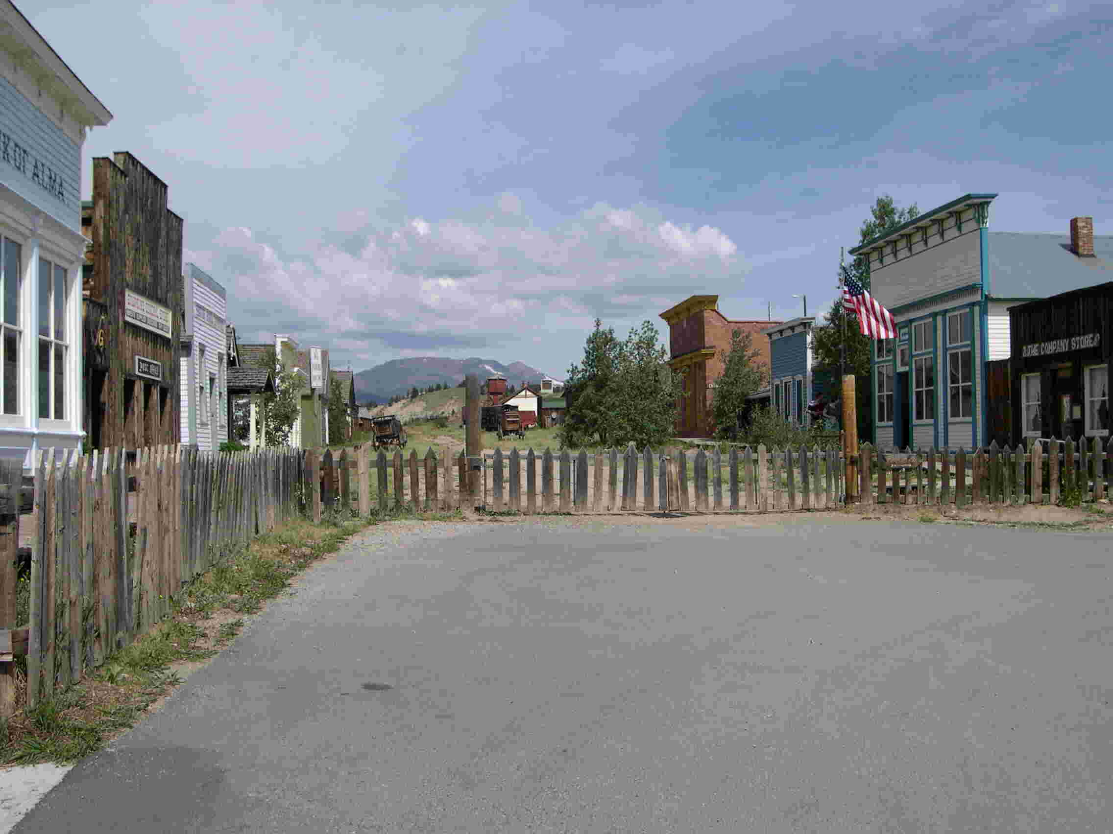
The town now has a museum, South Park City, which celebrates the splendor of 19th c. CE Colorado mining towns. Brian and I stopped and peered into the village, but did not pay the $6.50 admission fee.
|
|
|
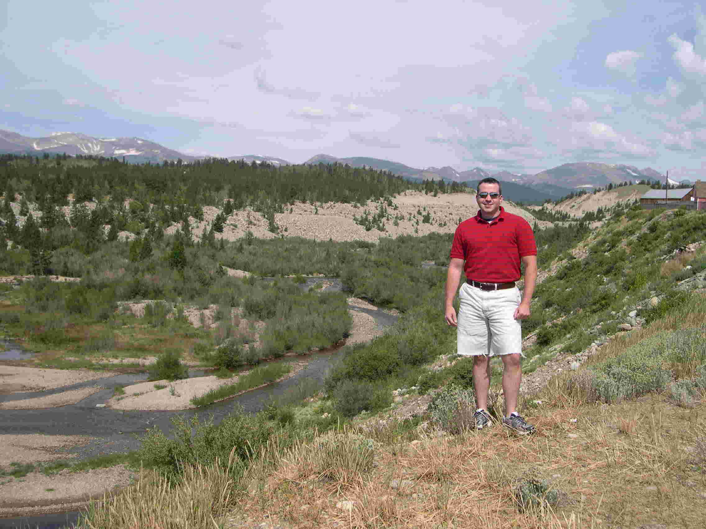
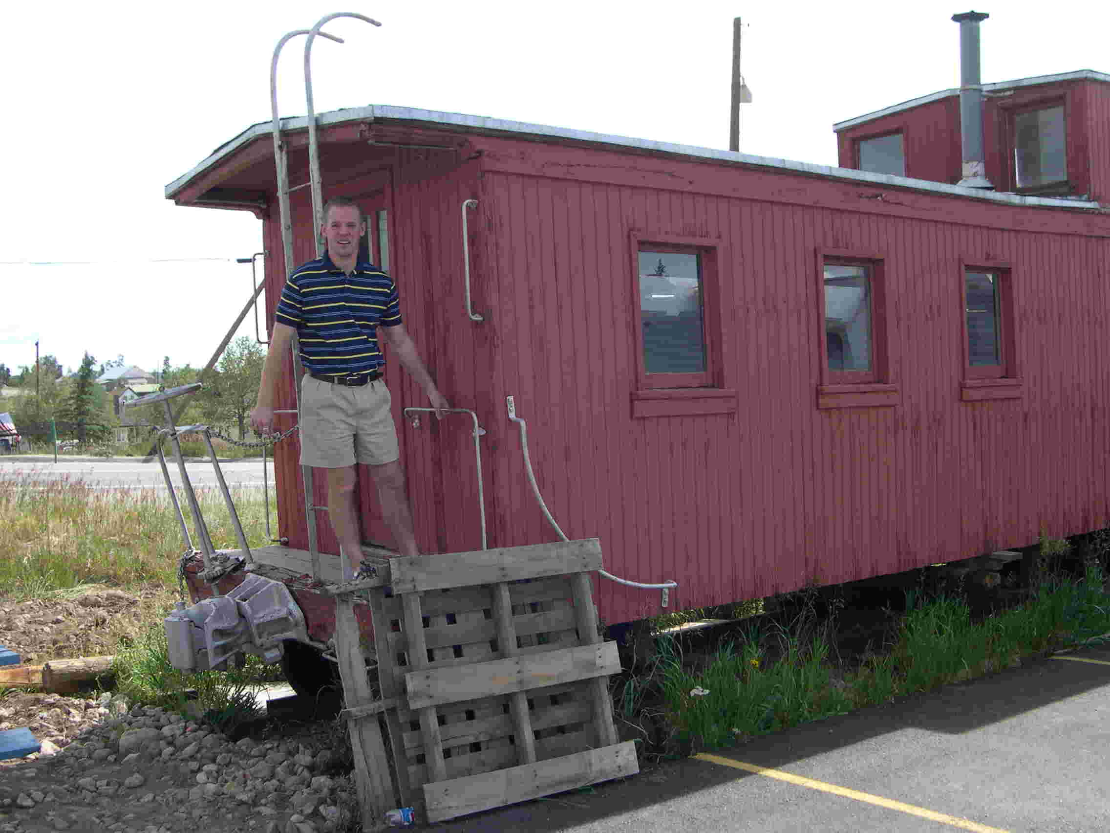
| Brian standing on the banks of the Middle Fork of the South Platte River | I'm always riding in the caboose, never driving the train! |
|
|
|
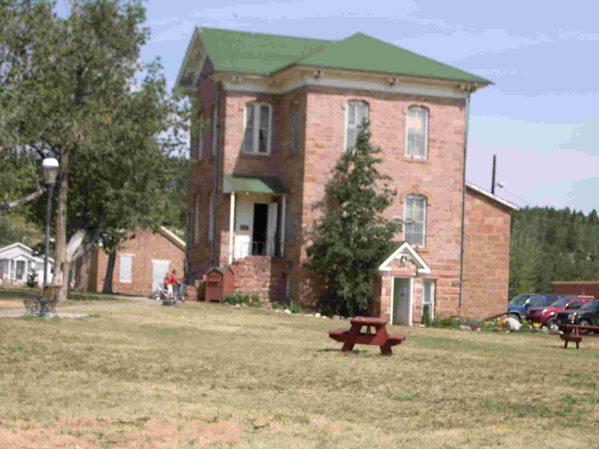
| Built in 1874, the structure served as the Park County Courthouse. It now houses the county's library. | This is the main street of South Park City, the museum that recreates a 19th c. CE Colorado mining town |
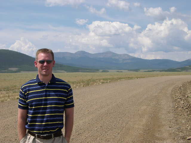
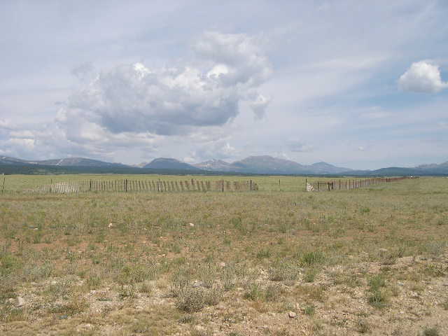
We headed southwest on US-285, which combines with US-24 just north of Trout Creek Pass. The pictures below were taken on a dirt road that leads to Weston Pass and the Pike National Forest. This scenery is much different than that of Breckenridge, which is just forty miles north.
|
|
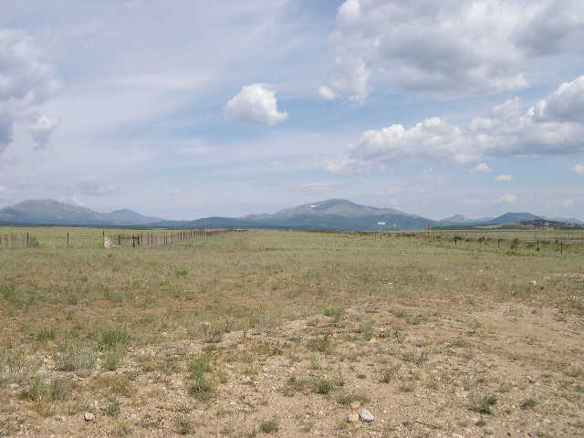 |
| With all of this flat land, this area is perfect for cattle ranching | |
|
|
 |
| These are the Buffalo Peaks: East (right) at an elevation of 13,301 feet and West (left) at an elevation of 13,327 feet. | And their I am in front of the Buffalo Peaks. |

Proceed to Day Three, Part II
or
return to Main Colorado Page